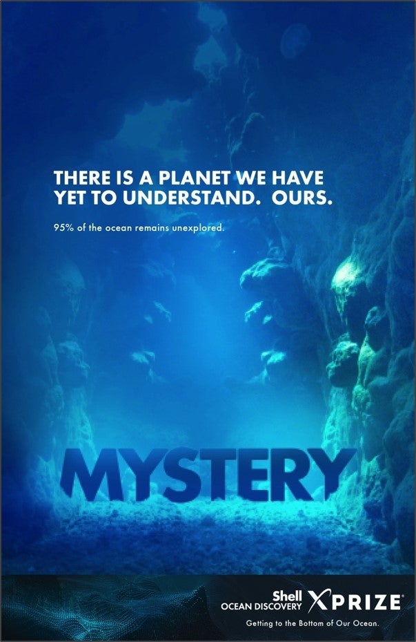
Over 60% of the Earth’s surface has not yet been mapped. The ocean covers 70% of our planet’s landmass, and of that, less than 15% of the sea floor has been mapped at a resolution greater than 5 km. In fact, we have higher resolution maps of the entire surface of the Moon, Venus, and Mars than we do of our own Earth. But this situation can be changed. We are in the midst of a Technological Revolution and with the advent of exponential technologies such as 3D printing, Robotics, Artificial Intelligence, and Virtual Reality, we now have smaller and cheaper tools and greater access to information.
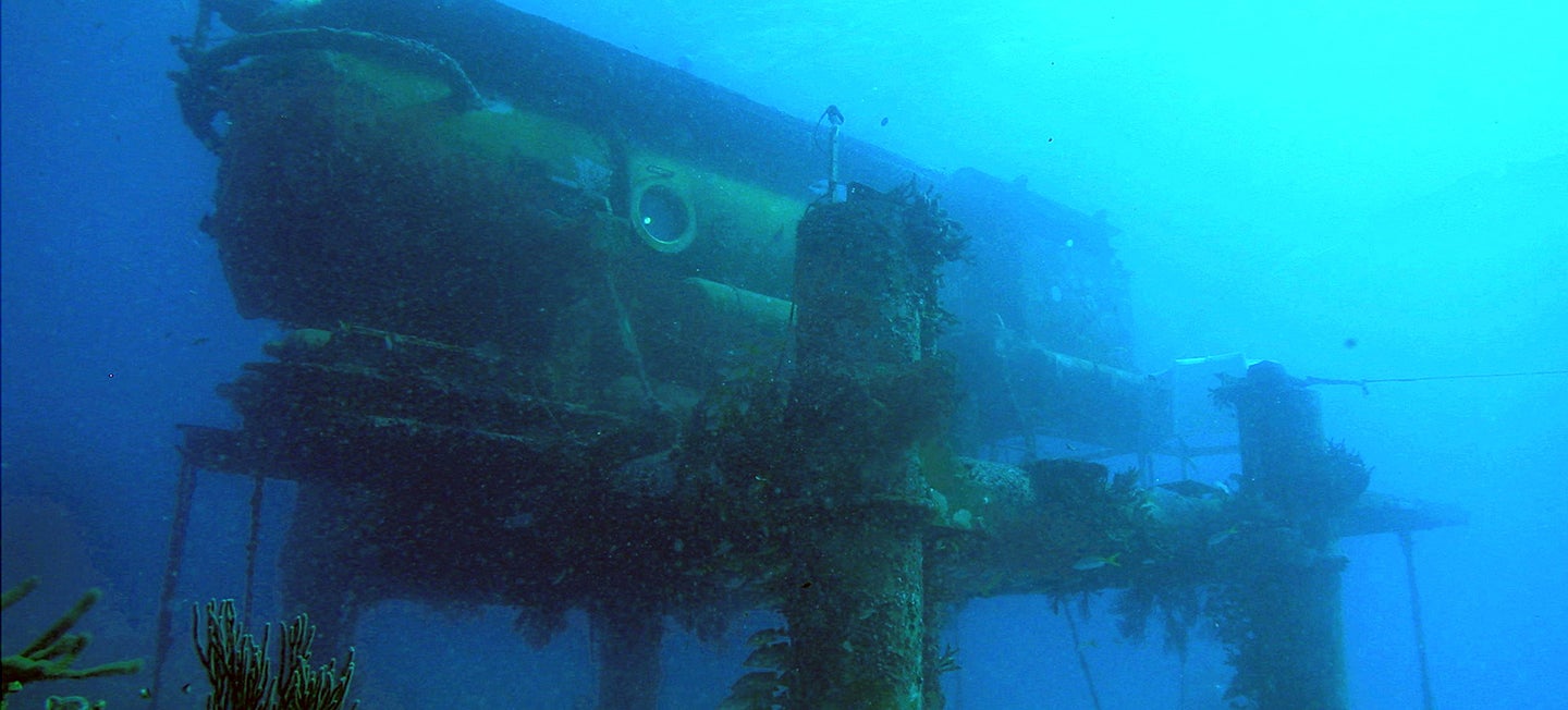
Mapping the sea floor has, historically, been a challenge. Seawater is obviously opaque, which prevents us from using visible, remote surveying techniques to get maps of the sea floor. Seawater is a harsh and corrosive medium and, with a viscosity greater than air, it has additional engineering challenges such as high friction resulting in rapid power drain for any device that is used to map the bathymetry underwater. It is also expensive to access because the technology of today requires ships to sail to the area being mapped before the mapping technology is deployed. At an average cost of $60,000 a day, it can easily cost a few hundred thousand dollars before mapping can even begin.
The Shell Ocean Discovery XPRIZE, a 3-year competition launched last December, is incentivizing innovators to develop the autonomous underwater robots we need to map the sea floor at 5m or higher resolution and take high-definition images of the deep sea. Within this is a $1 million National Oceanic and Atmospheric Administration (NOAA) Bonus Prize, for teams who can develop an underwater tracking device that can autonomously track a biological or chemical to its source. The devices will be shore-based or aerial deployments, removing the massive costs associated with ships. The competition will conclude in December 2018 and, like all other XPRIZE competitions, there will be a number of technical solutions that emerge to provide underwater cartographers the tools they need to survey the sea floor.
To view the seafloor maps that the Teams produce, XPRIZE is partnering with Esri, the world’s leading GIS company. Esri is donating its ArcGIS Online software to competing Teams who will submit their maps for judging via the platform. Esri is also going to create a Story Map of the Shell Ocean Discovery XPRIZE competition, allowing everyone to participate by following the Team stories and their deep-sea adventures as they progress through the competition. A Story Map is Esri’s medium for sharing not only data, photos, videos, sounds, and maps, but for telling a specific and compelling story by way of that content. This is all done with sophisticated cartographic functionality that does not require advanced training in cartography or GIS. Hence, depending on the chosen complexity, a Story Map can be built in anywhere from a few minutes to a few days, using the free public accounts and data available within ArcGIS Online.
The Shell Ocean Discovery XPRIZE will also contribute any new bathymetric data, underwater photography or underwater videography resulting from the competition, as long as not proprietary, to the Esri Living Atlas of the World, which features the most authoritative, well-documented, and well-designed content contributed to ArcGIS Online.
Earlier this year, the General Bathymetric Chart of the Oceans (GEBCO), the world’s only international organization mandated to map the ocean floor (and of which Esri is a participant), began the development of a Roadmap for the Future of Ocean Floor Mapping. The underwater robots that emerge from the Shell Ocean Discovery XPRIZE will provide key technologies to achieving the goal of mapping the entire sea floor at a high resolution by 2030.
Currently, 32 bold Teams representing over 22 countries have accepted the challenge to be a part of the future and map the sea floor. More information can be found at oceandiscovery.xprize.org.
Join us and be a part of mapping the entire planet!
About Dawn Wright
Dawn Wright joined Esri as Chief Scientist in October 2011 and is responsible for strengthening the scientific foundation for Esri software and services, while representing Esri to the national and international scientific community. She is also professor of geography and oceanography at Oregon State University and has participated in several initiatives around the world over the past 20 years to map, analyze, and preserve ocean terrains and ecosystems. Follow her on Twitter @deepseadawn.
About Jyotika Virmani
Dr. Jyotika Virmani is Senior Director, Energy and Environment at XPRIZE. Dr. Virmani has a Ph.D. in Physical Oceanography from the University of South Florida, where she worked on both blue water and coastal oceanography. She won a Rotary Foundation Ambassadorial Scholarship which allowed her to earn a M.S. in Marine Environmental Science (Atmospheric Science) from SUNY at Stony Brook. She also has a B.Sc. in Physics from Imperial College London and is an Associate of the Royal College of Science and a Fellow of the Royal Meteorological Society. In her spare time she maintains a humorous and informative tropical storm blog. Follow her on Twitter @JyovianStorm.